Multiple rounds of severe weather expected starting tonight

Published 4:04 pm Wednesday, March 1, 2023
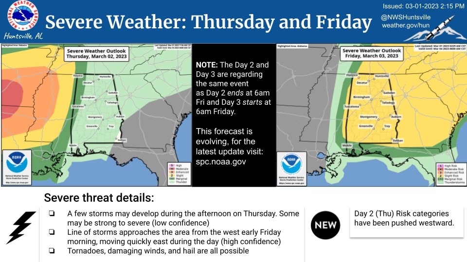
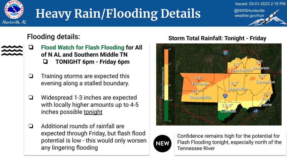
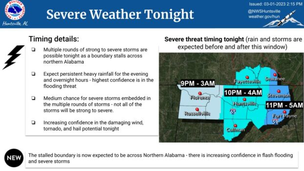
MADISON – The US National Weather Service in Huntsville says people need to pay close attention to the severe weather threats being forecast for the next couple of days. Starting tonight, a round a severe of storms are expected to flash flooding with a possibility of tornadoes, hail and damaging winds.
Chelly Amin, meteorologist with the National Weather Service in Huntsville, said storms are expected Wednesday through Friday in two rounds.
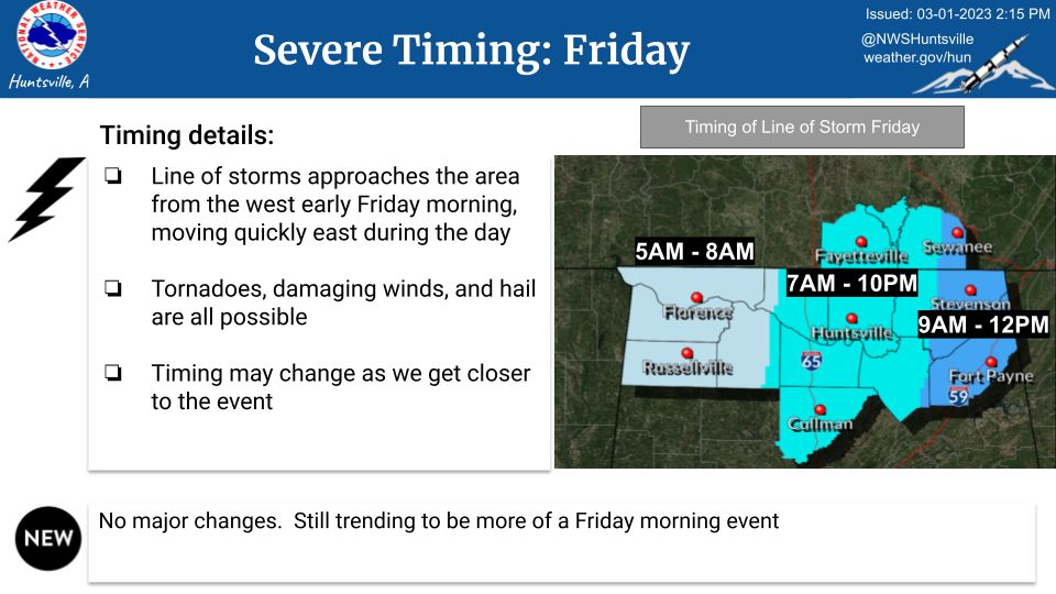
“We’ll have a front kind of sink down from the south and provide us some rain Wednesday into Thursday,” Amin said. “Thursday as it starts to lift back northward, we have another system coming from the west. That system will give us the chance for some severe weather overnight Thursday into Friday.”
Amin said the area may see quarter-sized hail or larger.
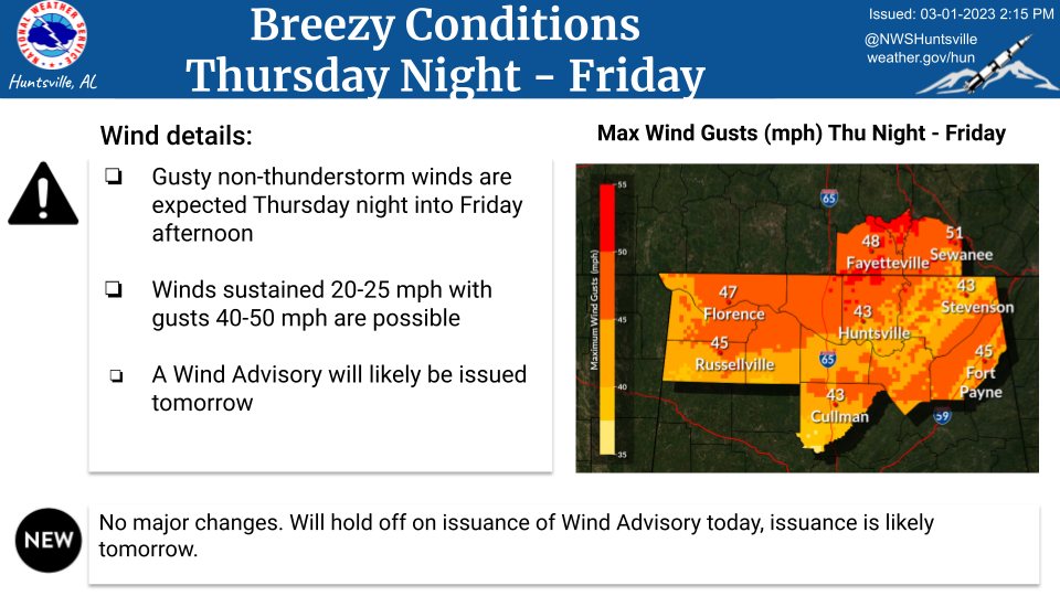
“I think our biggest threat is going to be damaging winds first, tornadoes second, and then hail will be a very kind of far down the list third,” she said.
Eddie Gilbert, Limestone County EMA director, said people should keep a safety and to-go kit readily available and also have some food storage available.
“If we do have a disaster, be prepared to take care of (yourself) for at least 72 hours,” he said. “Always have a plan, that’s the biggest thing. Don’t wait till the storm comes before you decide on how you’re going to handle it.”
The good news is that the weekend will look good once the severe weather moved through.
“Once that gets out of here, the weekend looks nice. You’re looking at highs in the upper 50s and low 60s,” Amin said. “But no rain, so once we get through early Friday, we won’t have any rain until at least some point next week.”